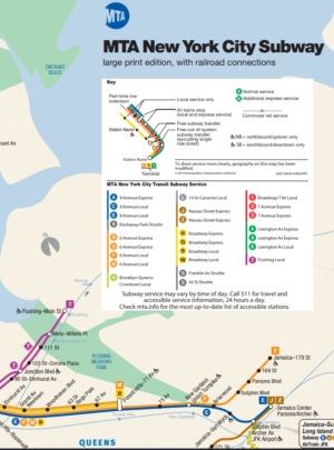
NYC Subway Map PDF – Overview
NYC (New York City) Subway Map is a collection of track maps, showing the physical tracks making up the subway system. These are not intended to be route maps, showing the logical routing of the passenger trains, although the individual tracks are color coded, and route indicators are provided on the maps, to help the viewer figure out what’s what.
The New York City (NYC) Subway is a rapid transit system owned by the City of New York and leased to the New York City Transit Authority, an affiliate agency of the state-run Metropolitan Transportation Authority (MTA).
The New York City Subway is one of the world’s oldest public transit systems, one of the most-used, and the one with the most stations.
Live NYC Subway Map
You can also check the live NYC Subway Map at the MTA website using this link.
Latest High resolution NYC Subway Map PDF is available to download at the official website which can be accessed directly using the below link.
Download NYC Subway Map PDF from new.mta.info using the direct download link given below.

